Matopo National Park
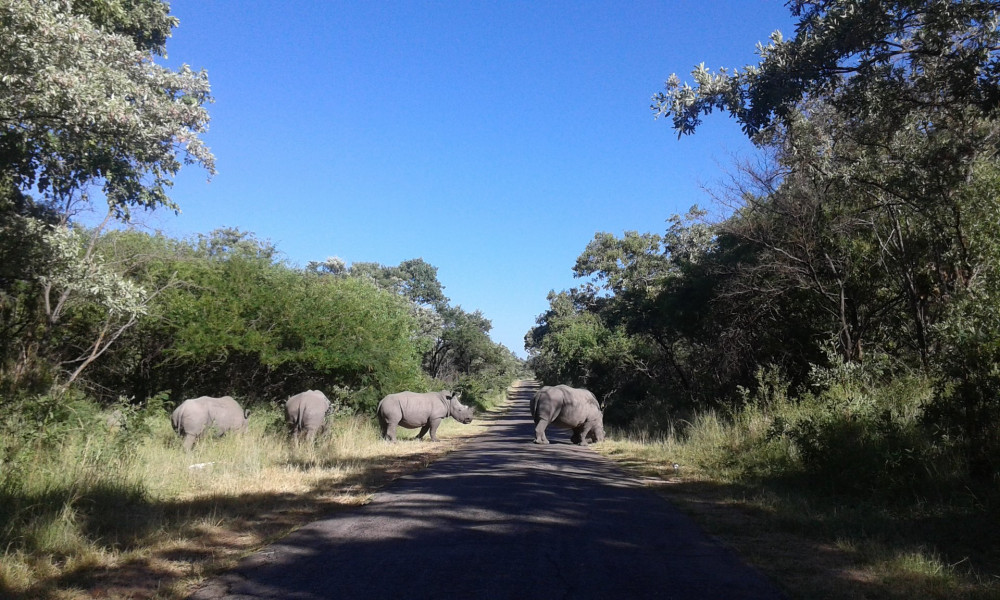
The Hills cover an area of about 3100 km² (1200 sq mi), of which 424 km² (164 sq mi) is National Park, the remainder being largely communal land and a small proportion of commercial farmland. The park extends along the Thuli, Mtshelele, Maleme and Mpopoma river valleys. Part of the national park is set aside as a 100 km² (39 sq mi) game park, which has been stocked with game including the white rhinoceros. The highest point in the hills is the promontory named Gulati (1549 m; 5082 ft) just outside the north-eastern corner of the park.
Administratively, Matobo National Park incorporates the Lake Matopos Recreational Park, being the area around Hazelside, Sandy Spruit and Lake Matopos.
The national park is located within the southern Africa bushveld ecoregion.
The national park is the oldest in Zimbabwe, established in 1926 as Rhodes Matopos National Park, a bequest from Cecil Rhodes. The original park borders extended well to the south and east of the current park. These areas were redesignated for settlement as part of a compromise between the colonial authorities and the local people, creating the Khumalo and Matobo Communal Lands. The park area then increased with the acquisition of World's View and Hazelside farms to the north.
Matobo National Park has a wide diversity of fauna: 175 bird, 88 mammal, 39 snake and 16 fish species. Game include white rhinos, sable antelopes, impala and leopards. The park contains the world's densest population of the latter, due to the abundance of hyrax, which make up 50% of their diet. The game park in the west has been restocked with white and black rhinos, the former from KwaZulu-Natal in the 1960s and the latter from the Zambezi Valley in the 1990s. It has been designated as an Intensive Protection Zone for the two species, as well as hyenas, hippopotami, giraffes, zebras, wildebeests, and ostriches.
Matobo National Park contains the highest concentration of black eagles, and breeding pairs of these birds, worldwide.
A limnological research centre has operated since 1950 at Maleme Dam and researched species such as the yellow fish, Barbus mattozi.
Geography and Geology
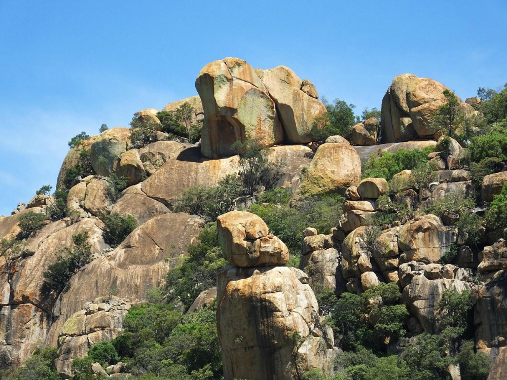
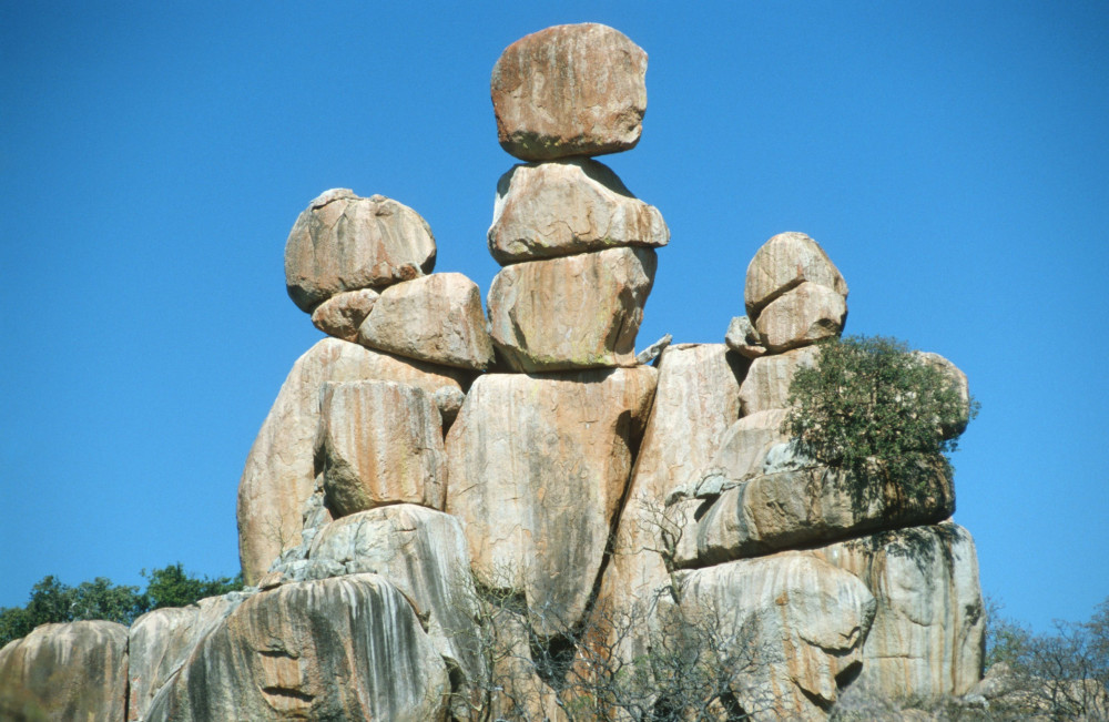
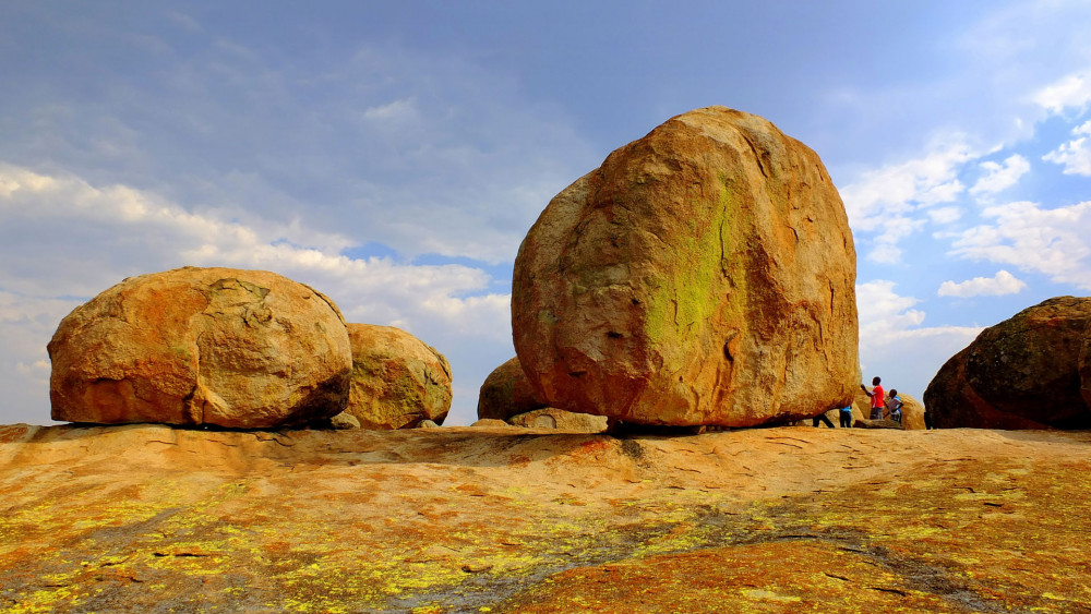
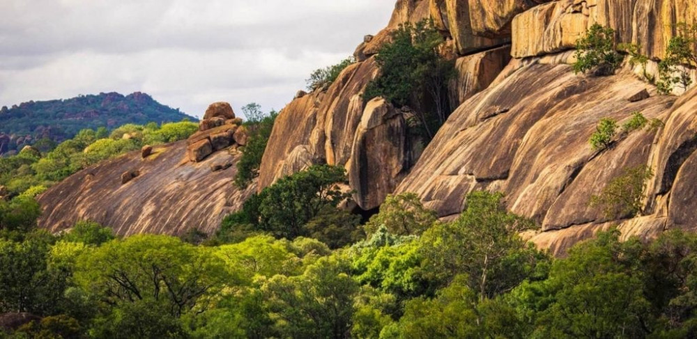
The Matobo Hills are composed entirely of granite, making up the Matopos Batholith.The granite weathers into fantastic shapes, such as the balancing rocks known as Mother and Child Kopje. Between the granite mountains, narrow valleys form. These are often swampy valleys known as dambos or vleis, due to runoff from the whaleback mountains.These valleys form the headwaters of the Maleme, Mpopoma and Mtsheleli rivers, and the source of the Thuli River is just east of the park.